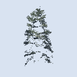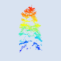
Geospatial professional with a Master’s in Geomatics for Environmental Management and a BSc in Environmental Science. Experienced in LiDAR data processing, GIS analysis, and remote sensing in both academic and applied settings. Passionate about using spatial data to drive conservation, environmental planning, and climate adaptation projects.